
:
4WD Guide to the Frenchmans Track, Cape York
Splitting east off the Old Telegraph Track north of Batavia Downs is one of Cape York’s most testing tracks, featuring water crossings, technical driving and sand tracks: Frenchmans Track.

Essential navigation
- Cape York Adventure Pack
- Cape York Atlas & Guide
- Cape York Map
- Queensland State Map
- Hema HX-2 Navigator
Essential information
Grading: Difficult — low range gearing and high ground clearance. Take traction aids and recovery gear.
Time: Day trip or overnight
Distance: 179km, Archer River Roadhouse to Moreton Telegraph Station
Longest drive without fuel: 221km, Archer River Roadhouse to Bramwell Junction Roadhouse; 280km, Archer River Roadhouse return
Best time of year: Dry season (May–October): This track can remain impassable late into the dry season with high rivers and deep mud west of Wenlock River after the harsh, monsoonal wet season (November–April). Check track conditions with Moreton Telegraph Station.
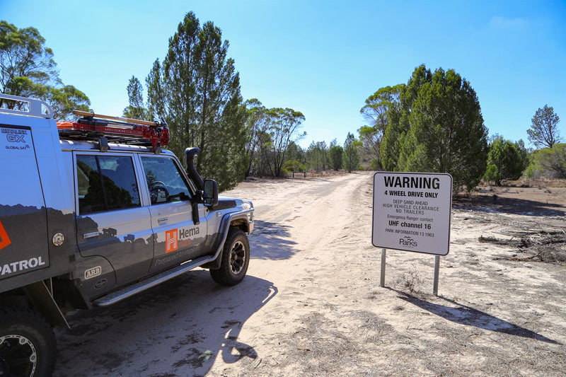
Warnings: Stony and slippery surfaces, steep grades and deep river crossings — not suitable for trailers. Check road conditions before travelling as Frenchmans Track can be impassable after rain. Before heading on any 4WD track in Australia's remote areas, it's wise to ensure you have all the necessary gear and equipment, including plenty of water, non-perishable food, first-aid kit, recovery gear, uhf radio and appropriate spare parts for your 4WD.
Alcohol restrictions apply at Lockhart River, and both the Portland Roads Road and Frenchmans Track are in restricted areas. Head here for more information.
Permits and fees: None apply
Facilities: Archer River Roadhouse, Lockhart River (38km from turnoff to Frenchmans Track), Moreton Telegraph Station (no fuel), Bramwell Junction Roadhouse (located on Bramwell Station)
Camping: Archer River Roadhouse, Moreton Telegraph Station
Important contacts:
-
Archer River Roadhouse
07 4060 3266 -
Moreton Telegraph Station
07 4060 3360 -
Bramwell Junction Roadhouse
07 4060 3230

The track
If you are heading north up the Cape, it makes sense to tie in a run with a trip out to Chili Beach in Kutini Payamu (Iron Range) National Park (CYPAL) or the Lockhart River community. The eastern end of Frenchmans Track shoots north off the Lockhart River Rd 69km from Peninsula Developmental Road (PDR). The Lockhart River community is a 38km detour further east if you need supplies.
For the first 6km or so you travel through white sandy heathland, the track badly corrugated and punctuated by grey termite mounds, with views out over the western remnants of the Iron Range.
Soon the track descends into rainforest, and you come to the first real obstacle: the Pascoe River crossing. Deep and rocky with a strong current, the exit on the western bank is a steep, bare rock ascent that can do damage to tyres and running gear if you aren’t careful. The Pascoe River crossing requires a careful walking inspection to judge depth and locate transfer case-smashing stones.
The track runs through fairly steep undulating rainforest country in a nearly straight line until you reach the Wenlock River. This ford is easier, with nice bush camping on the eastern bank. The climb back up from the Wenlock River is steep and slippery.
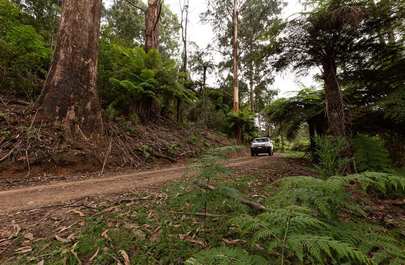
The last dozen kilometres to the Telegraph Rd ranges from washed out clay and corrugated sand to wet muddy sections. The western end of the track comes out 22km south of Moreton Telegraph Station.

End of Frenchmans Track (corrugations)
Things to do
The track can easily be done in one day if you start early, but a camp in the area should be planned if travelling to the track from a distance.
If you have the time, it is worth taking the trip out to explore Kutini Payamu (Iron Range) National Park (CYPAL). There are many walking, four-wheel driving and trail-bike riding tracks within the national park, so get ready for a day (or more) spent exploring. Animal-lovers will be in their element here as well, with many opportunities for birdwatching (Chili Beach is a great spot to see many coastal and seabird species), so be sure to bring your binoculars along.
There are four camping areas in the national park, and they are quite popular in the peak season, so plan in advance. Camping permits are required and fees apply. Find out more here.
History
Frenchmans Track was most likely built by an enterprising gold miner looking for an alternate route to the Iron Range goldfields. The goldfields were discovered by John ‘Jack’ Gordon in 1934, leading eventually to the construction of the Portland Roads jetty.
Next steps
At Hema Maps, we strive to provide the most comprehensive and accurate maps and guides for outdoor enthusiasts looking to explore Australia's natural wonders.
Did you find this information useful? If so, please share it with your fellow explorers. Whether it's by sms, social media, or email, your friends and fellow adventurers will appreciate the valuable tips and insights we've shared.
1 comment


I think the Frenchmans track was constructed by Fredericky Jensen (the Frenchman but he claimed to be a Swiss National) in the mid-1970s. He lived in a hut on the northern side of the Pascoe River crossing. I suspect that he constructed the track to provide easier access to the PDR without the need to cross the Pascoe. I met him in 1976 when I travelled along the track.